


Times series satellite imagery is being utilized in a variety of ways to monitor land, water, and the atmosphere environments and to determine their interactions with human activities and climate change. With the availability of a wide range of satellite datasets, the frequency and lengths of time series analysis are being expanded to investigate the progress and drivers of change. More applications are expected in the future toward the use of data fusion of multiple sensors acquired with various spatiotemporal details. Over the last few decades, satellite remote sensing has witnessed a paradigm shift in how multiple-sensor data are processed, archived, integrated, and applied in understanding changes in land, water, and air. The major reasons driving this explosive growth in the use of time-series remotely-sensed datasets includes their public and free access, standardized products, and growth in computing power. Therefore, it is essential for us to provide deeper insights into this fast-developing direction.
With this objective, this special issue aims to cover topics of interest including time series analysis algorithms, fusion of multisource time series data, time series applications, preprocessing and calibration of time series data (e.g., cloud detection, atmospheric correction, gap-filling of missing data, geometric correction, data harmonization, etc.), and also validation for time series products.
Topics to be covered:
Dr. Zhe Zhu
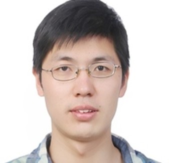
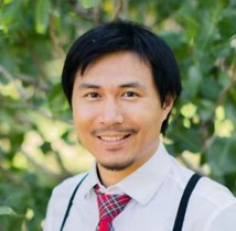 Dr. Zhe Zhu is currently an Assistant Professor in the Department of Natural Resources and the Environment, the Founding Director of Global Environmental Remote Sensing (GERS) Laboratory, and Director of the CATALYST-UConn Center of Excellence at the University of Connecticut (UConn), Storrs, CT, USA. Zhu is also an Associate Editor for Remote Sensing of Environment and Science of Remote Sensing, and serves on the Editorial Boards of Peer J and Remote Sensing. Zhu’s research is focused on developing novel numerical, statistical and computational approaches to monitor environmental change at multiple spatiotemporal scales, with particular emphasis on large-scale (e.g., national and global) and dense time series (e.g., weekly, or subweekly satellite observations) analyses.
Dr. Wenping Yuan
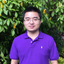
 Dr. Wenping Yuan is a Professor and doctoral supervisor from Sun Yat-Sen University, China, where he has been since 2016. From 2009 to 2015 he served as Associate Professor at Beijing Normal University. During 2007–2009, Yuan was a research fellow at the University of Oklahoma and U.S. Geological Survey Center for Earth Resources Observation and Science. He received a B.S. from Inner Mongolia University in 2001 and a Ph.D. in ecology in 2007 from the Institute of Botany, Chinese Academy of Sciences. His research interests span both global change and ecology and much of his work has been dedicated to improving terrestrial ecosystem models. He has developed and improved the satellite-based vegetation production model and provided the model with tools for evaluating and simulating vegetation production in terrestrial ecosystems. Yuan has investigated several key ecological processes and environmental regulations for improving the processes-based ecosystem. In addition, he has quantified the carbon budget using these improved models, including the impacts of climate change and human activities on the carbon cycle. Professor Yuan is the author of over 100 papers on ecology and remote sensing and has been recognized by the National Outstanding Youth Fund of China, supported by the National Youth Top-notch Talent Support Program (The Organization Department of the Central Committee of the CPC) and named a Young Yangtze River scholar (Ministry of Education, China). Meanwhile, Professor Yuan has been serving as a leading author of the National Assessment Report on Climate Change in China.
Dr. Chengbin Deng
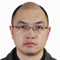
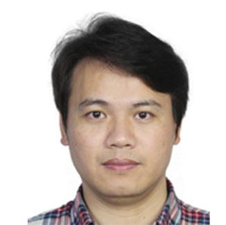
 Dr. Chengbin Deng is an Associate Professor and Department Chair for the Department of Geography, State University of New York (SUNY) at Binghamton, USA. He received B.S. and M.S. degrees in remote sensing and geographic information science from Sun Yat-sen University in Guangzhou, China, and a Ph.D. in geography from the University of Wisconsin at Milwaukee, USA, in 2006, 2008, and 2013, respectively. He was an Assistant Professor with the Department of Geography, SUNY Binghamton, from 2013 to 2019. He has been recognized as an outstanding reviewer of various academic journals in the past few years, including Remote Sensing of Environment, ISPRS Photogrammetry and Remote Sensing, and Landscape and Urban Planning. His research interests include remote sensing, land use and land cover change, GIScience and machine learning. Professor Deng currently serves as an Associate Editor of Computational Urban Science and an Editorial Board Member of Remote Sensing.
Dr. YingChun Fu
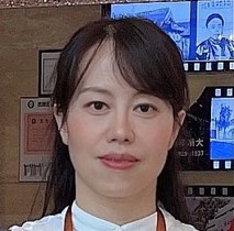 Dr. YingChun Fu is currently a Professor and doctoral supervisor with South China Normal University, China. She received a Ph.D. in photogrammetry and remote sensing in 2006 from Wuhan University, China. She was a visiting scholar with the Earth & Environment Department at Boston University and participated in the Landsat Science Team workshop meeting, USA, from 2014–2015. Her research focus includes high-resolution remote sensing time series and deep learning analysis, urban renewal change detection and mangrove/forest carbon flux modeling. She has been the PI/Co-PI of more than 10 funded projects and received high-cited paper awards from Remote Sensing of Environment and the Journal of Geographical Science. She regularly serves as a reviewer for International Journal of Remote Sensing, Landscape and Urban Planning and Science of the Total Environment, and as a Guest Editor for Remote Sensing.
Dr. Yongxue Liu
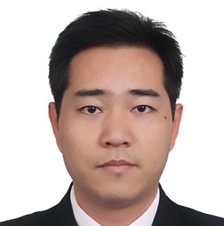 Dr. Yongxue Liu is currently a Professor and doctoral supervisor with the School of Geography and Oceanic Sciences at Nanjing University, China. He received a Ph.D. in Cartography and Geo-information System from Nanjing University in 2004. Liu served as a visiting scholar for the College of Marine Science, University of South Florida, for 1 year (2016–2017). His current research interests include satellite time-series analysis, tiny object extraction from space-borne images, high-temperature anomaly detection (e.g., fires, volcanic activities and industrial heat sources) and environmental effects of offshore oil/gas production (e.g., oil spills and gas flaring).
Dr. Wenfeng Zhan
 Dr. Wenfeng Zhan is currently a Professor at the International Institute of Earth System Science (ESSI), Nanjing University, China. He received a B.S. degree in Photogrammetry and Remote Sensing in 2007 from Wuhan University and a Ph.D. in Geography in 2012 from Beijing Normal University. He was a visiting Ph.D. student in the Department of Geography, University of Western Ontario, Canada, from 2010 to 2011, and was also a visiting professor in the School of the Environment, Yale University, USA, from 2018 to 2019. His research focus includes satellite thermal remote sensing, optimization of land surface temperature, urban heat island and remote sensing of urban environment. He has received many honors such as the Xiaowen Li Remote Sensing Science Award. Zhan is now serving as an Associate Editor for IEEE Geoscience and Remote Sensing Letters and formerly served as a Guest Editor for several journals such as Remote Sensing and Land.
Dr. Lian Feng
 Dr. Lian Feng is an Associate Professor with Southern University of Science and Technology, China. He received a Ph.D. from Wuhan University, China. He was a postdoctoral researcher at the University of South Florida from 2015–2017, and also served as a consultant for the National Oceanic and Atmospheric Administration of the USA. Feng has been the PI/Co-PI of >10 funded projects, and his research interests include remote sensing of inland and coastal water environments and how these environments are influenced by climate variability and human activities. He has published 90 peer-reviewed SCI papers, more than half of which have appeared in prestigious journals such as Nature, Nature Geoscience, Remote Sensing of Environment, Journal of Geophysical Research, and Environmental Science & Technology.
Dr. Jun Zhao
 Dr. Jun Zhao has been a Professor at the School of Marine Sciences, Sun Yat-sen University, China, since 2017. He earned a B.S. degree in environmental science from Qingdao University in 2005 and Ph.D. in ocean optics and remote sensing from South China Sea Institute of Oceanology, Chinese Academy of Sciences, in 2010. Between 2010 and 2012, he worked as a Postdoctoral Scholar at the College of Marine Science, University of South Florida, USA. In 2013, Zhao joined the Masdar Institute of Science and Technology as a Research Scientist. He is the author of over 50 peer-reviewed papers. His research interests include ocean optics, ocean color remote sensing, environmental effects of mesoscale and submesoscale processes and responses of marine environments to climate change and anthropogenic activities.
Please indicate in your cover letter that your submission is intended for inclusion in the special issue.
Submission Deadline: June 30, 2023